GIS layer publishing
Direct publishing of detections and surveys into the agency's GIS stack, live layers, not exports.
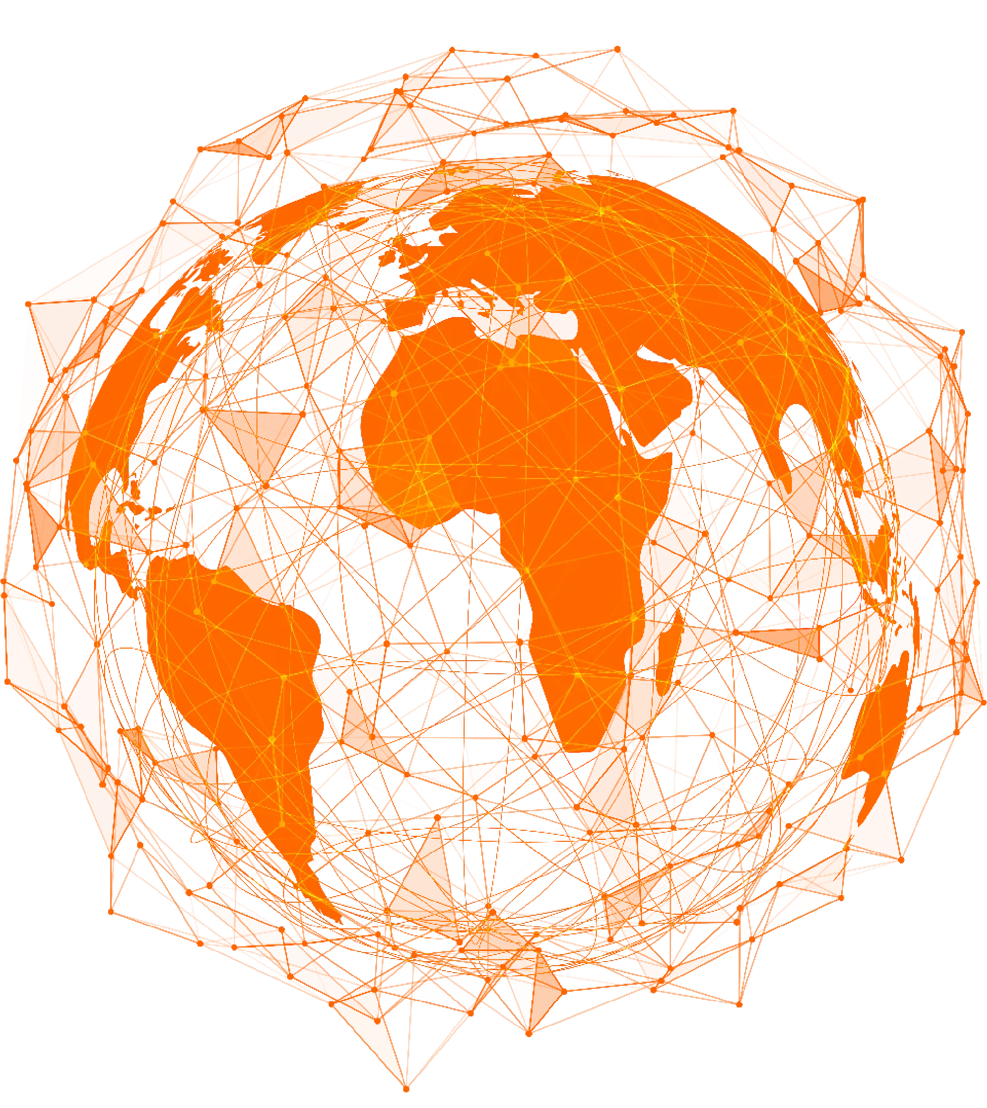
VoxNet turns crewed aviation into a single addressable network. Request a survey, a live stream, or a recurring layer, and a Voxelis-equipped aircraft delivers it, wherever it already flies.

Every Voxelis-equipped flight is a live node in VoxNet. Detections, perimeters, and atmospheric data arrive while the aircraft is still airborne.
Crewed aviation is the largest underused sensor platform on Earth. VoxNet turns equipped fleets into shared infrastructure, so airborne data behaves like a cloud service, not a procurement project.
Every Voxelis-equipped aircraft is part of a shared network. Request a survey, a stream, or a recurring layer. VoxNet routes it to whichever aircraft is already flying the area.
Skip the RFPs, mission-planning meetings, pilot scheduling, and weeks of coordination. The flights are already happening, the data is a request away.
For government agencies, industry, researchers, NGOs: airborne geospatial intelligence priced and delivered like any other cloud service. No defense procurement budget required.
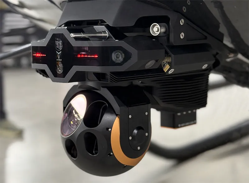
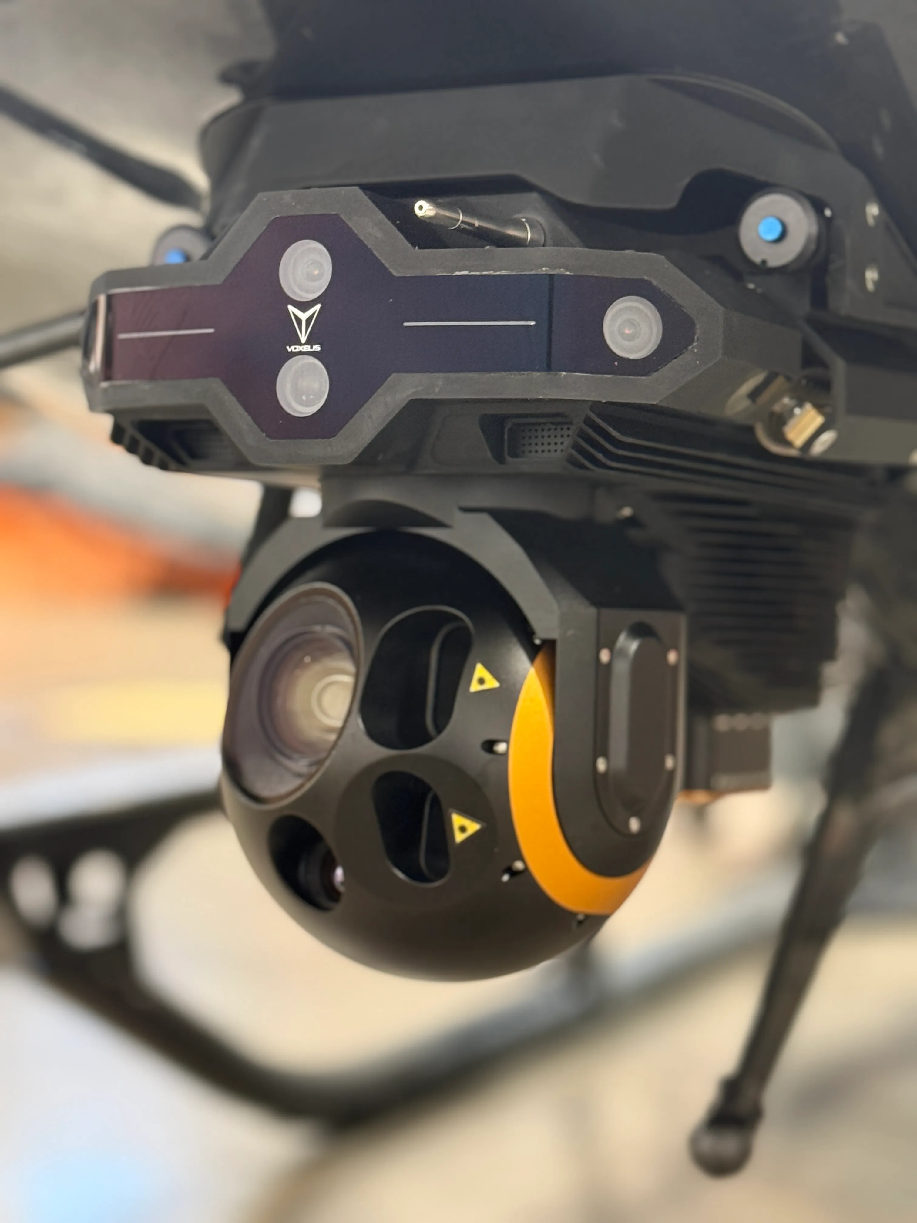
VoxVision-equipped aircraft transmit detections, telemetry, and imagery over satellite broadband. VoxNet handles routing, processing, and delivery into your GIS stack.
Simplified. In practice each aircraft routes data through redundant uplink paths and VoxNet handles backpressure, replay, and retention by mission profile.
Detections, perimeter changes, and atmospheric data update on the GIS layer while the aircraft is still on station. No USB drives, no post-flight downloads, no missed flights.
Cloud-native pipelines. Georeferenced output integrates directly with the GIS platforms your analysts already operate. Standards-based, drop-in, no new tool to adopt.
New detection models, sensor configs, and mission profiles roll out across every equipped aircraft simultaneously. Capability arrives in the air, not in the hangar.

Aircraft to intelligence. Seamlessly.
VoxNet outputs land where analysts work. The GIS platforms and mission-management dashboards your team already runs, without forcing a new tool into the workflow.
Direct publishing of detections and surveys into the agency's GIS stack, live layers, not exports.
Standards-based exports (GeoTIFF, COG, STAC, GeoJSON) that drop into any open mapping toolchain.
WebSocket and HTTP/2 streams of in-flight detections, telemetry, and EO/IR imagery for incident-management dashboards.
Per-customer cloud buckets, role-based access, audit trails. Data tagged to the operator and the agency end-user.